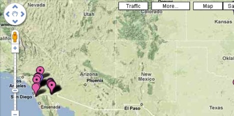
A new strain of the H1N1 influenza virus is rampaging in America and creating a scare worldwide. The 2009 swine flu outbreak has sparked alerts as it spread quickly from Mexico to the United States and Canada. After its discovery in the United States, the virus is suspected in most continents all over the world. In view of the rising concern about this virus and the threat to human life, a US-based Biomedical Researcher, niman, has created the swine flu tracking map on Google Maps. Users can instantly view the full list of outbreak by clicking on the link beneath the map. The latest updates about confirmed and suspected cases of swine flu are constantly incorporated in the map. Users can zoom in and out to focus on specific countries or get the overall view.

The overall map is marked with various colors to identify the type of cases: pink map pins for suspected cases; purple for confirmed, yellow for negative, and the lack of a black dot in the middle of the map pins to signify deaths.
View the Google Map tracking the occurrences of swine flu below:
View H1N1 Swine Flu in a larger map